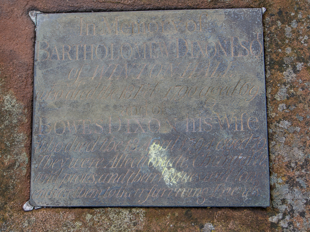
Across the valley separating the Lake District from the north-south Pennines range, we hike to Kirkby Stephen, home of the Faraday family and location of a large marketplace. This marks the eastern edge of Cumbria.
1 SHAP TO KIRKBY STEPHEN
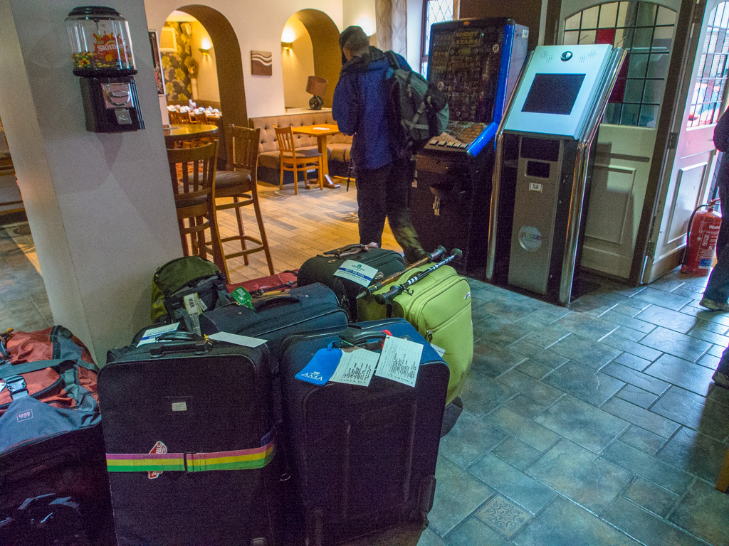
Luggage ready at Shap for transfer to the next stop.
2
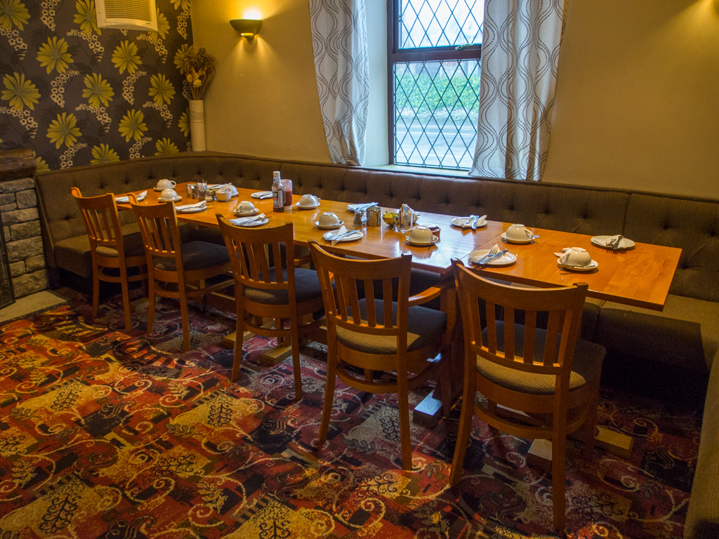
3 Our breakfast table at Shap
4
5
6 Near the start we cross a rail line and a freeway. No, this train has not been graffitoed.
7
8 Active operations at Hardendale Quarry
9
10 We encounter a new style stile: all stone
11
12
13
14 Heading toward Sunbiggin Tarn
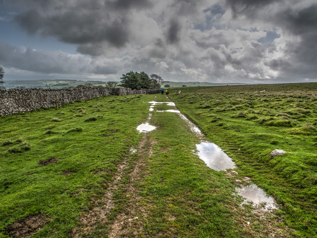
15
16 Intermittent downpours today
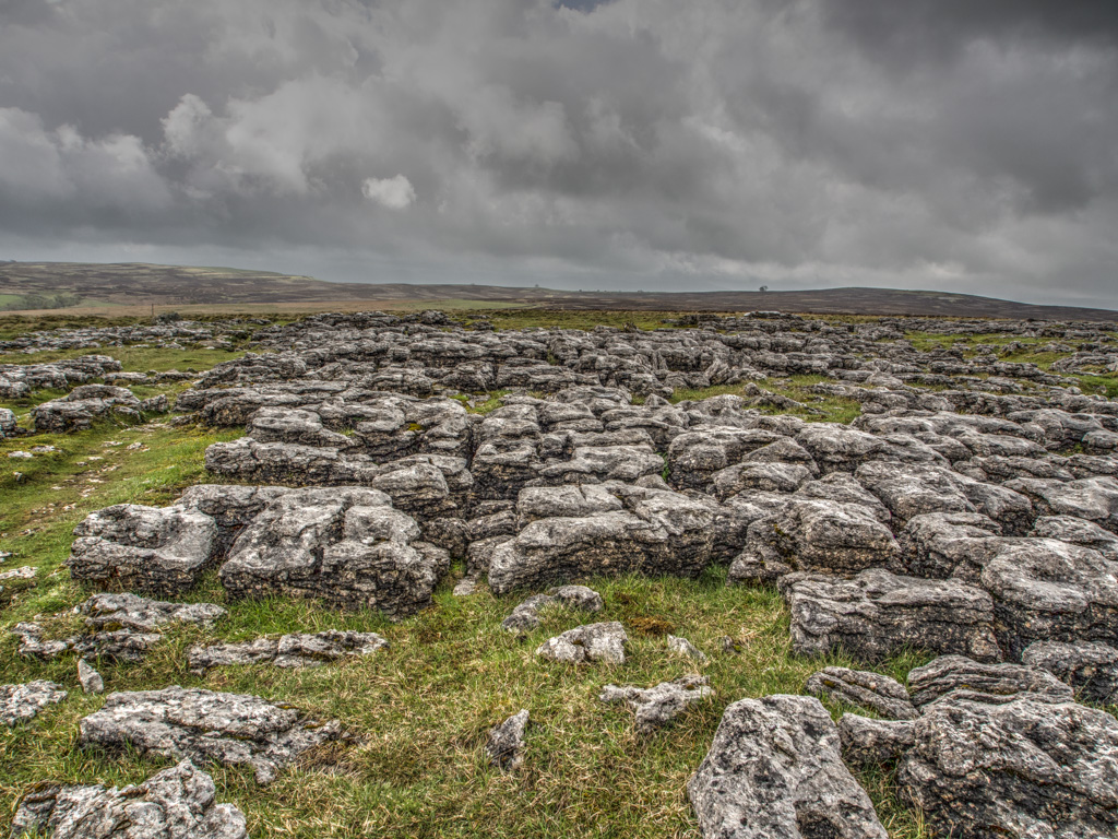
17 Geologists call this exposed rock "limestone pavement." Locally, the blocks are 'clints' and the fissures between them are 'grikes'.
18
19
20
21
22
23
24
25
26
27
28
29
30
31
32
33
34 The Smardale Valley
35
36
37 Smardale Bridge, crosing Smardale Gill, a classic packhorse bridge. The Neolithic pillow mounds to the left of the bridge are locally called Giants' Graves.
38
39
40 Clearing weather as we cross the side of Smardale Fell
41
42
43
44 Descending into the valley of Kirkby Stephen. The second K is silent.
45
46
47
48 The town of Kirkby Stephen lies ahead
49
50
51
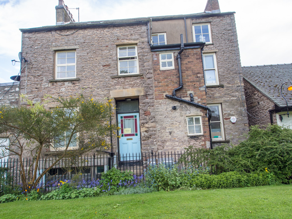
52
53 Splitting up into our night's lodgings
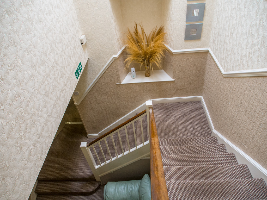
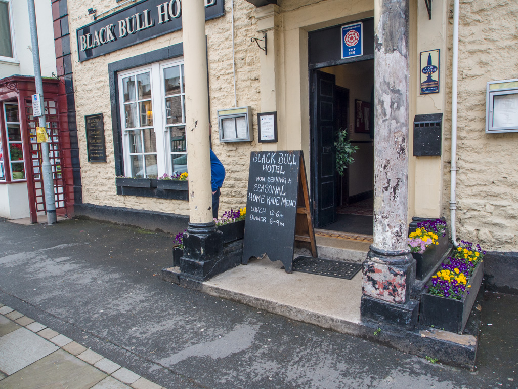
54 This very old road sign still lists furlong distances!
55 Checking in at the Black Bull
56
57
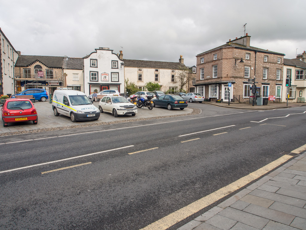
58
59 Kirkby Stephen is a substantial town, whose market was founded in 1352.
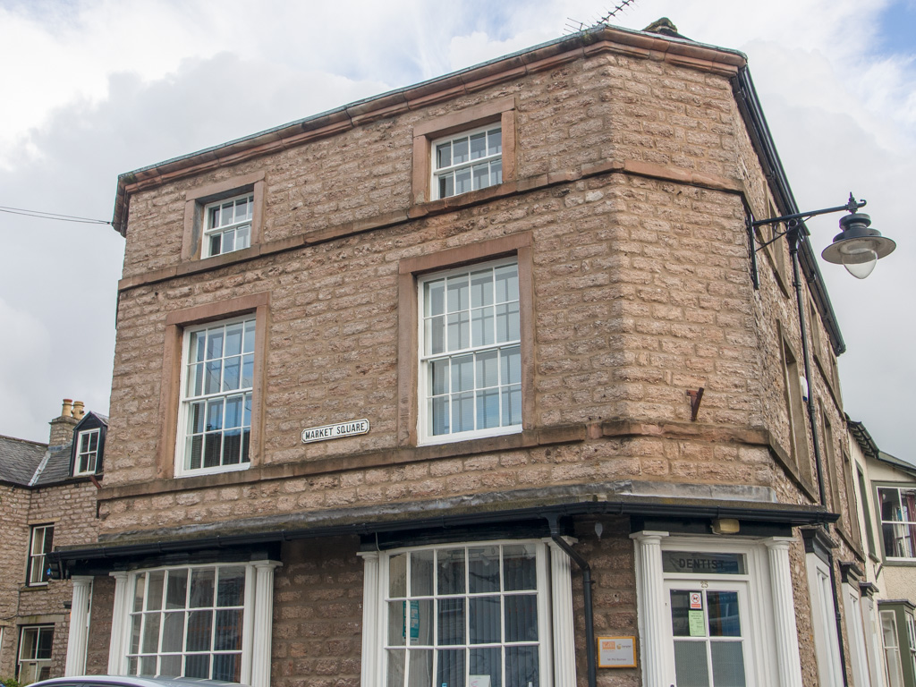
60
61 The market square. The old market building itself is the red sandstone structure to the left.
62
63
64
65
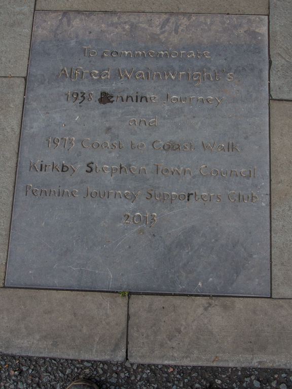
66
67 This plaque commemmorating Afred Wainwright is in front of the old market building
68
69
70 Behind the market, the Kirkby Stephen Parish Church
71
72
73
74
75
76
77
78
79
80
81
82 This church a\has been converted into shops
83 ...while this one is now a hostel
84
85 Parallel to the main street, a row of old buildings